About Rudy Wahl Links Pictures Credit Email Home
Diamond Discovery In The Killala Lake Area
February 13, 2008 Dianor Resources / Rudy Wahl's
Diamond discovery in the Killala Lake area, over 60 macro diamonds including 8
commercial sized diamonds.
![]()
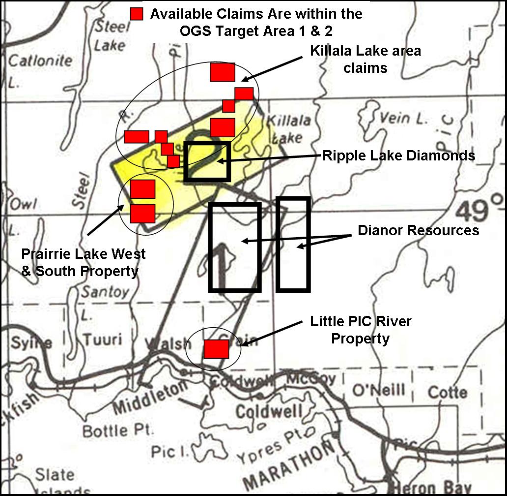
Diamond Discovery & Claim Location Map
Dianor recovers 66 diamonds from Killala Lake area property:
2008-02-13 13:42 ET - News Release
Mr. John Ryder reports
DIANOR RESOURCES INC.: DIAMONDS DISCOVERED IN SPESSARTITE LAMPROPHYRE ON KILLALA PROPERTY
Dianor Resources Inc. has received results for the past season's exploration of the Killala diamond property in the Marathon area, Ontario.
During late 2006 and early 2007, ground magnetic surveys were conducted on a number of airborne geophysical targets that had been selected from data derived from the Ontario government's exploration initiative, "Operation Treasure Hunt." The airborne data were reviewed and 63 targets were identified, based on magnetic and EM signatures. Of these 33 were selected for detailed ground magnetic surveys and 13 for MMI geochemical sampling. The results allowed targets to be prioritized in preparation for drill testing.
A dike, discovered by Rudy Wahl, on the Killala property was sampled and found to be diamondiferous. A larger sample (1,205.80 kilograms) was collected from exposures of the dike and sent to Kennecott Canada Exploration's mineral processing laboratory in Thunder Bay, Ont. The sample was processed to recover diamonds using Kennecott's "mini-DMS" equipment which had a screen size of 0.5 millimetre. The results of this work recovered a total of 66 diamonds weighing a total of 0.23 carat. The largest stone weighed 0.042 carat.
SUMMARY OF DIAMONDS RECOVERED THROUGH DMS PROCESSING OF THE WAHL DIKE
Botton sieve aperture in millimetres Total Total
Diamonds weight
(carats)
DMS
fraction 0.150 0.212 0.300 0.425 0.600 0.850 1.180
Non-magnetic
DMS sinks 0 1 1 32 8 0 0 42 0.09295
Non-magnetic
scalp 1 1 0 3 5 7 1 18 0.1336
Recrush 0 1 0 5 0 0 0 6 0.0063
Total 1 3 1 40 13 7 1 66 0.23285
For more Information please see news release on Dianor Resources web site: www.dianor.com
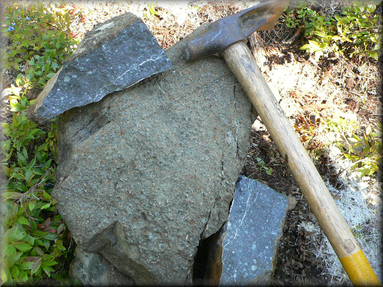
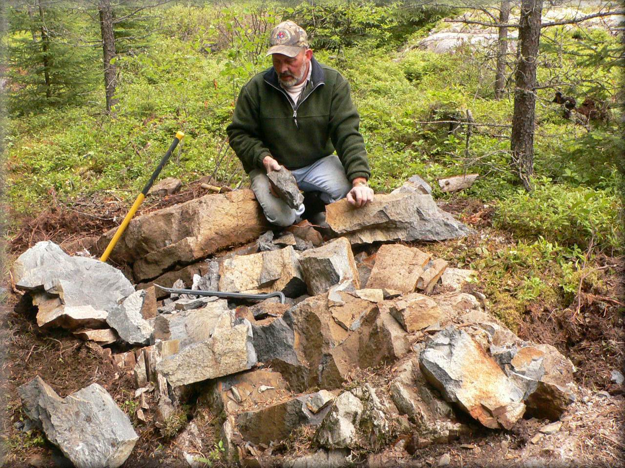
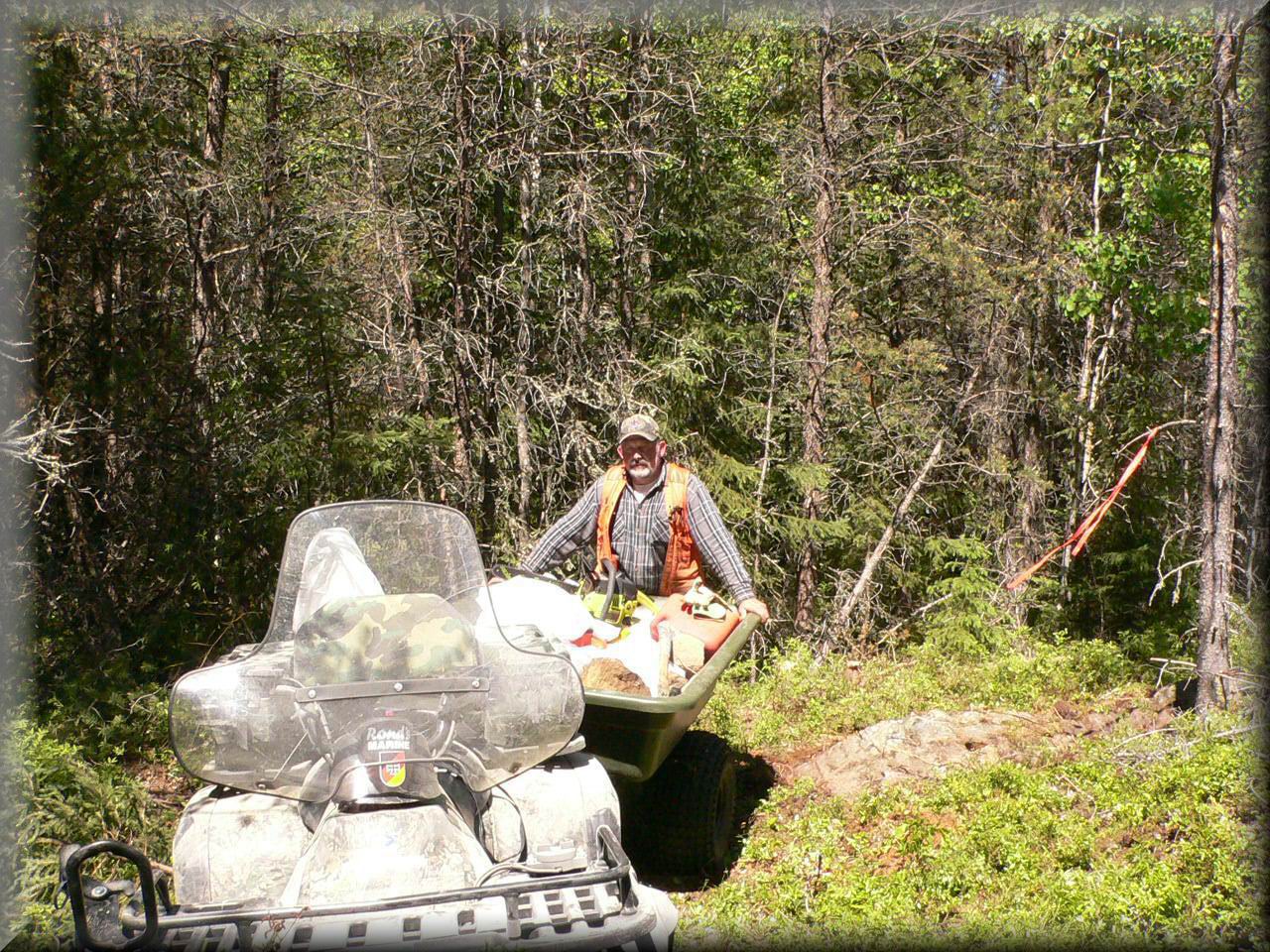
Diamond Discovery Site
Regional Geology:
The claim blocks lies at the junction of the Wawa and Quetico subprovinces of the Superior Structural Province of the Canadian Shield. The rocks comprise east-west trending interbedded Archean meta-sedimentary and meta-volcanic rocks intruded by granitic and mafic intrusive rocks. Younger Proterozoic intrusions include the Marathon diabase dyke swarm and alkalic intrusions, of the Coldwell and Prairie Lake alkalic-carbonatite complexes and lamprophyre dykes. The large number of dykes mapped in the area is clearly evident in the airborne magnetic survey as long linear anomalies with a variety of strikes. Including are some distinct magnetic lows that appear to reflect a north-northeast set of lamprophyre dykes.
The Trans-Superior Tectonic Zone (TSTZ) extends north-northeast through the area and appears to be the locus of the considerable intrusive activity present. The TSTZ is similar to other tectonic features in the Canadian Shield, such as the Kapuskasing Structural Zone and the Lake Timiskaming Structural, along which diamond deposits have been found. Indeed, diamondiferous kimberlites have been found in Michigan on the southern extension of the TSTZ. These major structures provide deep-seated zones of weakness that tap into the mantle and provide conduits along which kimberlites ascend.
Property Geology:
The intrusions which host diamond deposits are controlled by regional geology and tectonic processes. The details of the local property geology are largely immaterial in the emplacement diamond deposits.
Little PIC River Property is within the Ontario Geological Survey Kimberlite Target Area # 1
Please see my property report on this web site at: Little PIC River Property 64 claims South of Diamond discovery.
The Little PIC River property consist of 64 contiguous unpatented mining claims, located approximately 30 kilometers west of Marathon and 2 km north of Hwy. 17. The property is readily accessible from Trans- Canada Highway 17. A trail/road cut the main part of the Property in the southern and northern section of the property.
Note from the OGS open file report # 6013 - 2000 page 45, where the new Diamond discover is located
Caution is warranted, the upper part of the Little Pic River area may be a good place to explore for kimberlite for several reasons. These include: 1) there are not one, but 3 sites that have a strong KIM signature while other sites around them do not; 2) each site consists of more than one KIM type; 3) the river does cut to bedrock; 4) all 3 sites are located at a major intersection between structures associated with the TSTZ and the Killala Lake Deformation Zone; and 5) there are a number of magnetic anomalies (bull's-eye) immediately up-ice from the sites as illustrated on magnetic maps.